Download Global Rainfall Erosivity
get_glored.RdThis function download Global Rainfall Erosivity Database (GLORED) created by Panagos et al. (2017) and crop it to the shapefile boundaries.
Arguments
- aoi
SpatVector. A polygon layer with area of interest.
- warp
logical. If TRUE, reproject the GLORED raster to
aoiprojection
References
Panagos, Panos, Pasquale Borrelli, Katrin Meusburger, Bofu Yu, Andreas Klik, Kyoung Jae Lim, Jae E. Yang, et al. “Global Rainfall Erosivity Assessment Based on High-Temporal Resolution Rainfall Records.” Scientific Reports 7, no. 1 (June 23, 2017): 4175. https://doi.org/10.1038/s41598-017-04282-8.
Examples
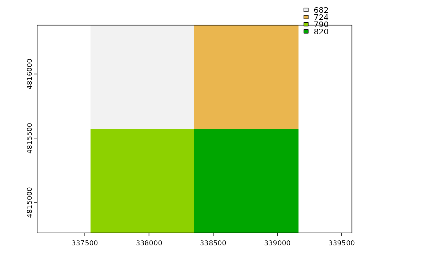
library(terra)

f <- system.file("extdata/extent.shp", package="rusleR")
v <- vect(f)

r_factor <- get_glored(v)

plot(r_factor)